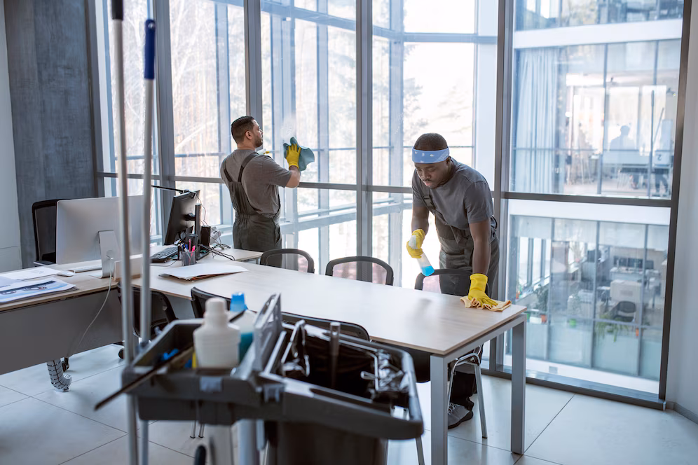
Janitorial & Cleaning Services
- Commercial & Residential Cleaning
- Deep Cleaning & Sanitization
- Window & Glass Cleaning
- Floor Maintenance & Carpet Care

Facility & Property Management
- Maintenance & Repairs
- Security & Safety Solutions
- Pest Control & Waste Management

Business Solutions & Logistics
- Office Supply & Equipment Procurement - Staffing & Recruitment Services - Logistics & Supply Chain Support

Government & Federal Contracts
- Facility maintenance for government buildings - Compliance with federal regulations
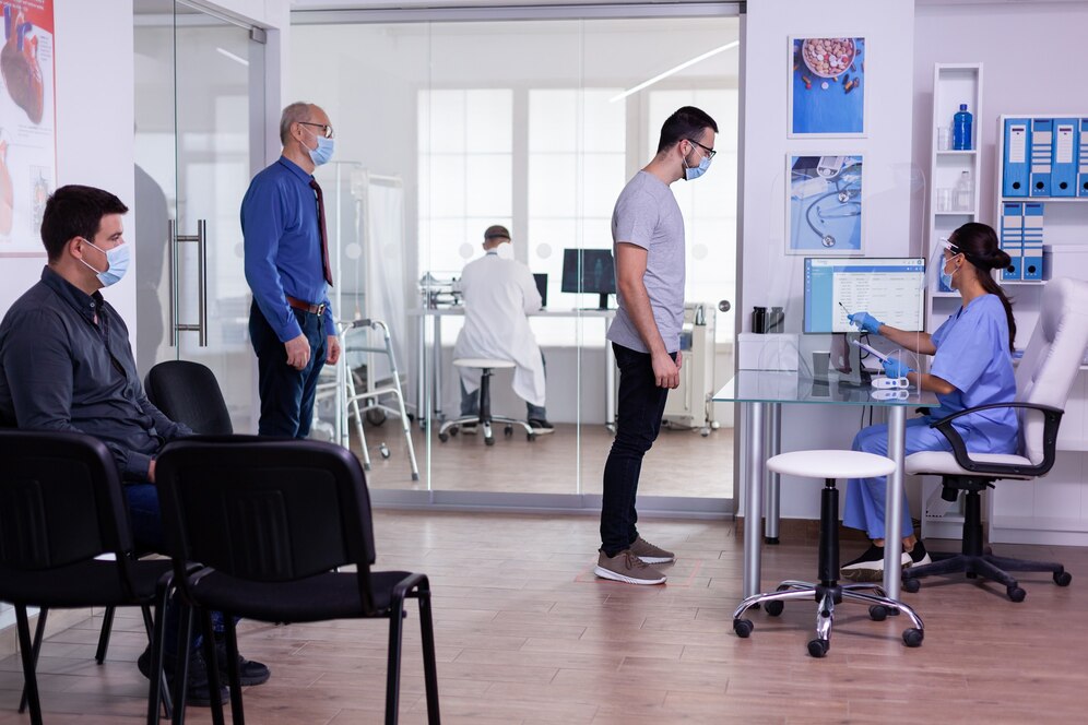
Healthcare & Medical Facilities
- Infection control & sanitation - Medical waste disposal

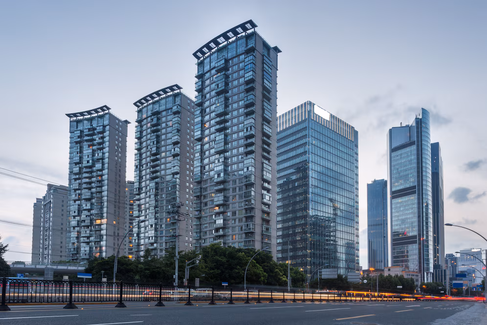
Corporate & Industrial Workspaces
- Daily office cleaning & facility upkeep - Customized facility solutions for large enterprises

Educational Institutions
- School, college, and university janitorial services - Classroom & cafeteria maintenance
Commercial & Residential
- Home & apartment cleaning - Retail store maintenance Our specialized teams ensure that every industry receives the highest quality service


